

Drone Mapping for Infrastructure Inspection: Precision UAV Surveys Explained

Introduction Inspecting large or hard-to-access infrastructure — towers, pipelines, embankments, rooftops — manually is slow and sometimes risky. CodeRize’s Drone Services offer end-to-end industrial UAV solutions globally, delivering precision and efficiency specifically for infrastructure inspection. How UAV Infrastructure Inspection Works High-resolution aerial imagery captures details difficult to see from the ground Surveys can cover large […]
GIS for Utilities and Water Management: Turning Field Data into Cost Savings
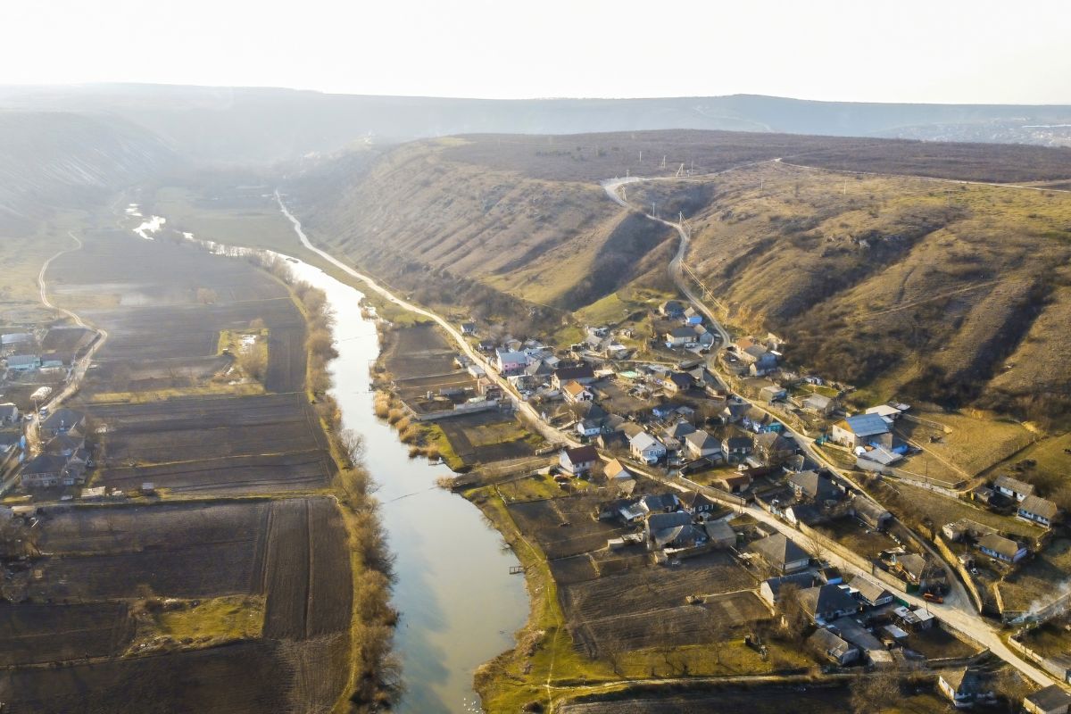
Introduction Utility and water management organizations typically manage large, distributed physical assets — infrastructure that is easy to lose track of without a spatial system to organize it. CodeRize’s GIS-driven dashboard project for the Soil and Water Conservation Department of Maharashtra offers a concrete example of what this looks like in practice. From Fragmented Records […]
ERP Advisory and AMC Support: Getting the Most from Your Odoo Investment

Introduction Implementing an ERP system is only the beginning — getting ongoing value from it requires the right advice up front and reliable support afterward. CodeRize provides strategic ERP advice to streamline operations, boost efficiency, and drive business growth, backed by AMC support that ensures smooth ERP performance with updates and troubleshooting. ERP Advisory: Getting […]
Streamlining Diabetes Care: A Hospital Management Odoo ERP Case Study
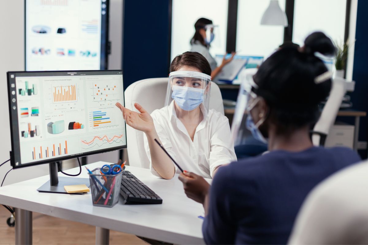
The Challenge Diabetes care involves ongoing patient monitoring, scheduling, and coordination between clinical staff — processes that can become inefficient without a system built specifically around that workflow, rather than a generic hospital administration tool. The Solution CodeRize built an advanced hospital management system on Odoo ERP, tailored specifically to streamline diabetes care operations. As […]
Technical Support That Doesn’t Sleep: Why Ongoing GIS and Software Maintenance Matters

Introduction A GIS or software system that isn’t maintained tends to degrade quietly — data drifts out of date, integrations break, and small issues compound. CodeRize provides comprehensive technical support, including maintenance, troubleshooting, and updates, to ensure geospatial and software systems run smoothly and efficiently. What Ongoing Technical Support Covers Routine maintenance to keep systems […]
Odoo ERP for Healthcare: Event Management and Hospital System Case Studies

Introduction Healthcare organizations run on process — scheduling, patient records, resource coordination — and inefficiencies there have direct consequences for patient care. CodeRize has delivered two Odoo ERP case studies in the healthcare space: an event management system for process optimization, and a hospital management system supporting diabetes care. Case Study 1: Event Management System […]
How Waste Management Companies Use GIS: The GeoScanner Case Study

The Challenge Waste management companies coordinate large field staff across constantly changing routes and schedules, making it difficult to track collection efficiency, staff activity, and service quality without a centralized, location-aware system. The Solution CodeRize’s GeoScanner product has been applied to streamline waste collection and management operations, combining centralized task allocation, GPS-based field staff monitoring, […]
Software Advisory Services: Choosing the Right Tech Stack Before You Build

Introduction Choosing the wrong technology stack early in a project can be expensive to fix later. CodeRize offers expert software advisory services to help businesses make informed technology decisions, ensuring the right solutions are chosen to optimize performance and meet strategic goals. What Software Advisory Covers Evaluating technology stack options against project goals and budget […]
WMS for Forest Encroachment Detection: How Web Map Services Support Monitoring
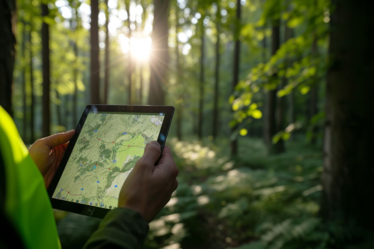
The Challenge Detecting encroachment on forest land is difficult at scale — manual site visits can’t cover large areas frequently enough, and without a shared, up-to-date map layer, different stakeholders may be working from inconsistent information. The Solution CodeRize developed a WMS (Web Map Service) for forest encroachment detection and monitoring — a system that […]
GIS for Forestry and Environment: Monitoring, Digitization, and Encroachment Detection
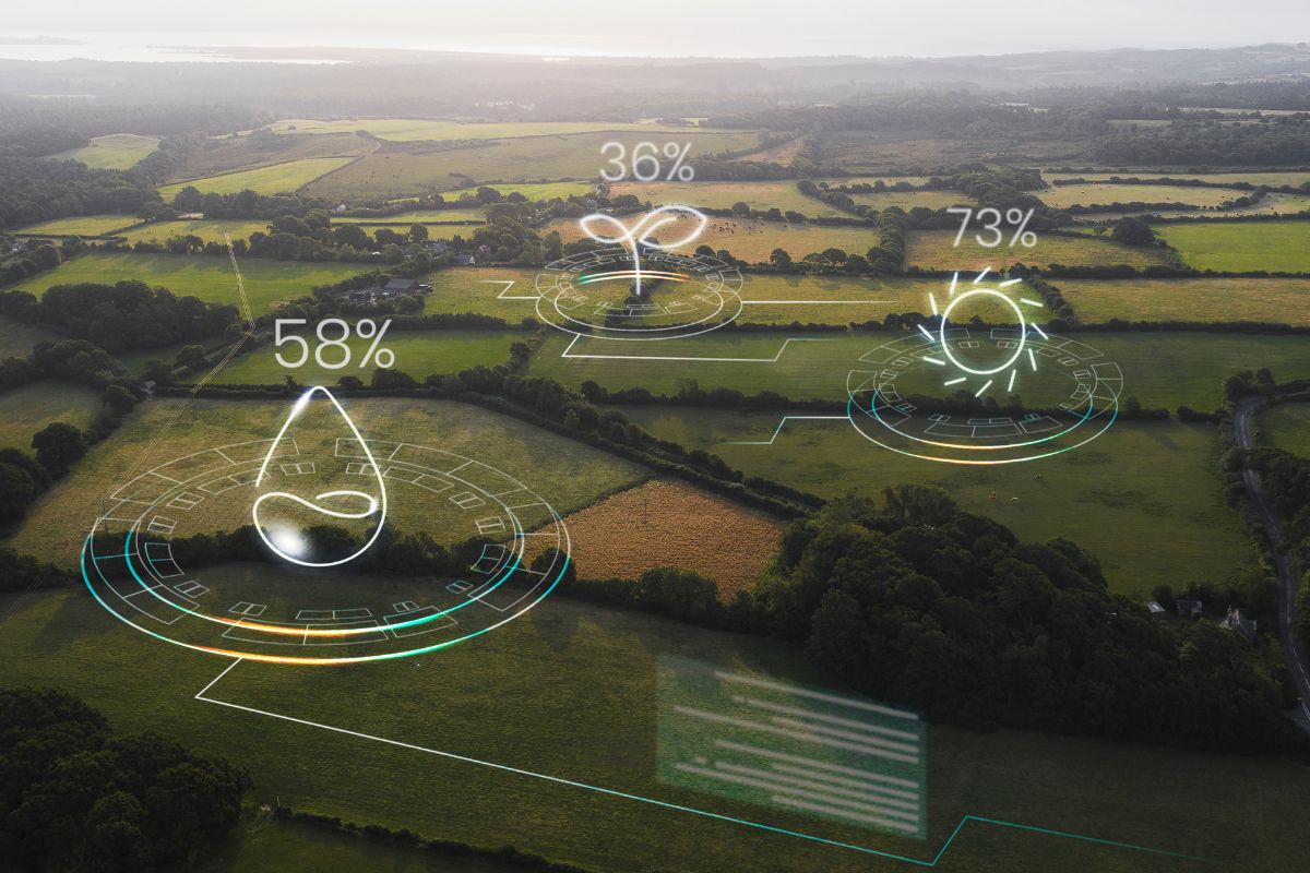
Introduction Forestry departments face a unique geospatial challenge: managing enormous, often remote areas with historically limited digital infrastructure. CodeRize has delivered two related projects in this space — digitizing forest stock from handwritten maps, and developing a Web Map Service (WMS) for forest encroachment detection and monitoring. From Paper Records to Monitoring Systems These two […]