
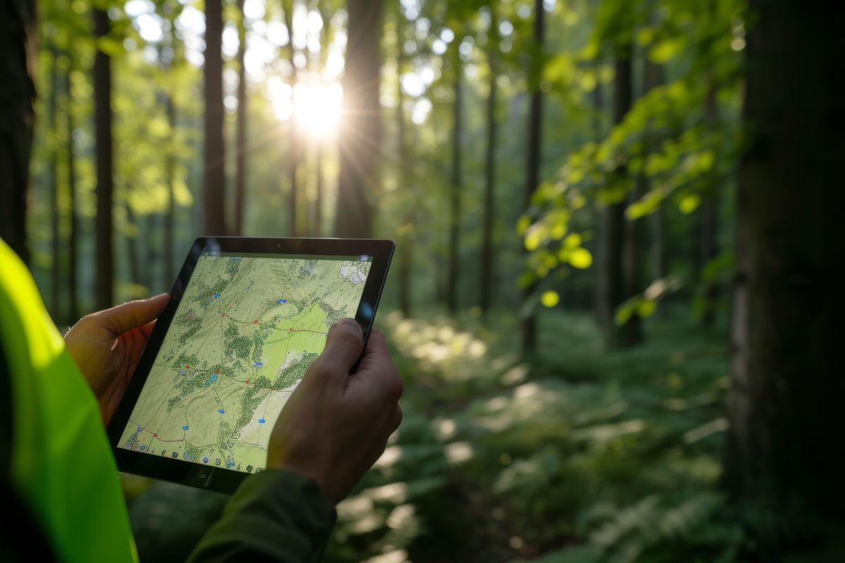
Detecting encroachment on forest land is difficult at scale — manual site visits can’t cover large areas frequently enough, and without a shared, up-to-date map layer, different stakeholders may be working from inconsistent information.
CodeRize developed a WMS (Web Map Service) for forest encroachment detection and monitoring — a system that serves georeferenced map layers over the web, allowing stakeholders to view current encroachment-related data through a standard, shareable service rather than static files.
Who typically accesses a WMS for encroachment monitoring?
Forestry department staff and stakeholders needing shared visibility into current land-use and encroachment data.
Does a WMS replace the need for field verification?
No — a WMS supports monitoring and prioritization, but field verification typically remains part of the overall process for confirmed action.
CodeRize’s GIS Development team can help design a WMS or similar monitoring system for your land management needs. Contact us at info@coderize.in.