
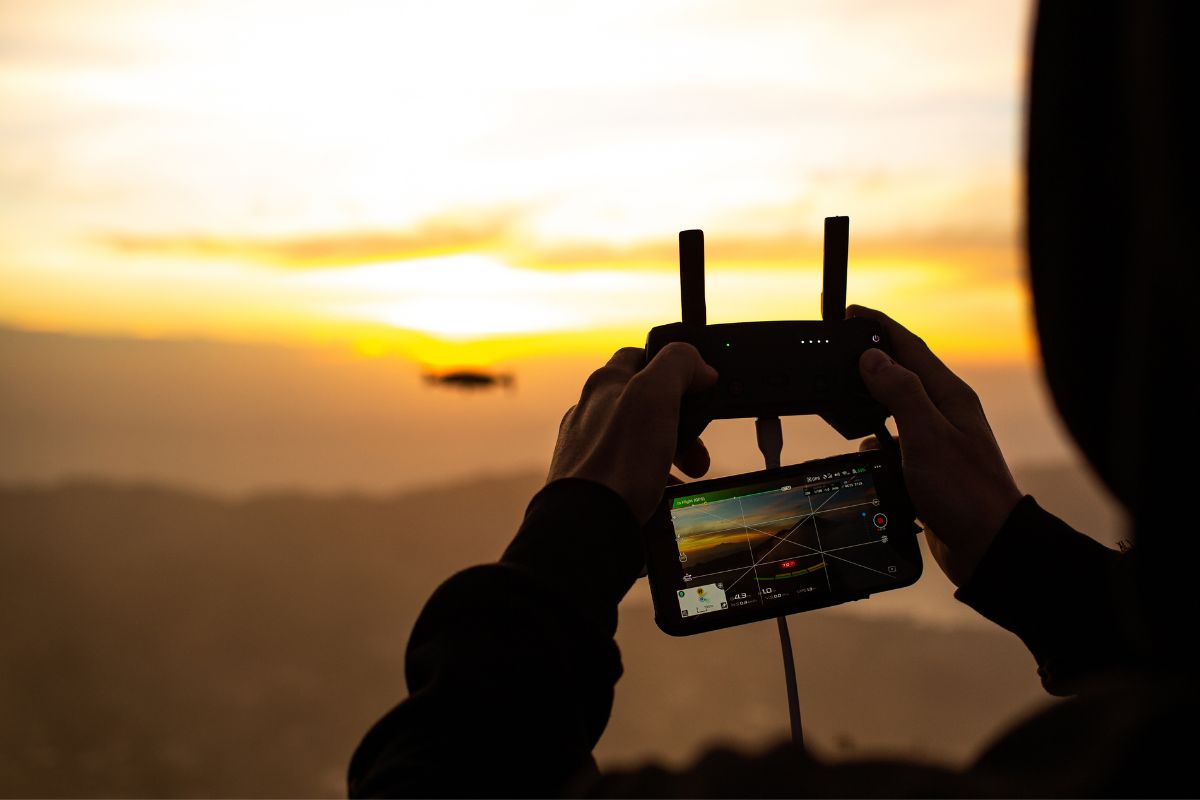
Inspecting large or hard-to-access infrastructure — towers, pipelines, embankments, rooftops — manually is slow and sometimes risky. CodeRize’s Drone Services offer end-to-end industrial UAV solutions globally, delivering precision and efficiency specifically for infrastructure inspection.
CodeRize’s drone services are delivered with adherence to industry standards, ensuring results meet the reliability expectations of infrastructure owners and regulators, not just capturing imagery for its own sake.
What types of infrastructure benefit most from drone inspection?
Tall, remote, or hard-to-access structures — such as towers, large agricultural or forestry areas, and extensive land parcels — see the clearest efficiency gains.
Can drone inspection data feed into a broader monitoring system?
Yes — CodeRize’s approach connects drone-captured data into its broader GIS development and location intelligence workflows for ongoing analysis.
Contact CodeRize’s Geospatial team at info@coderize.in to discuss a UAV survey scoped to your infrastructure.