

Streamlining Diabetes Care: A Hospital Management Odoo ERP Case Study
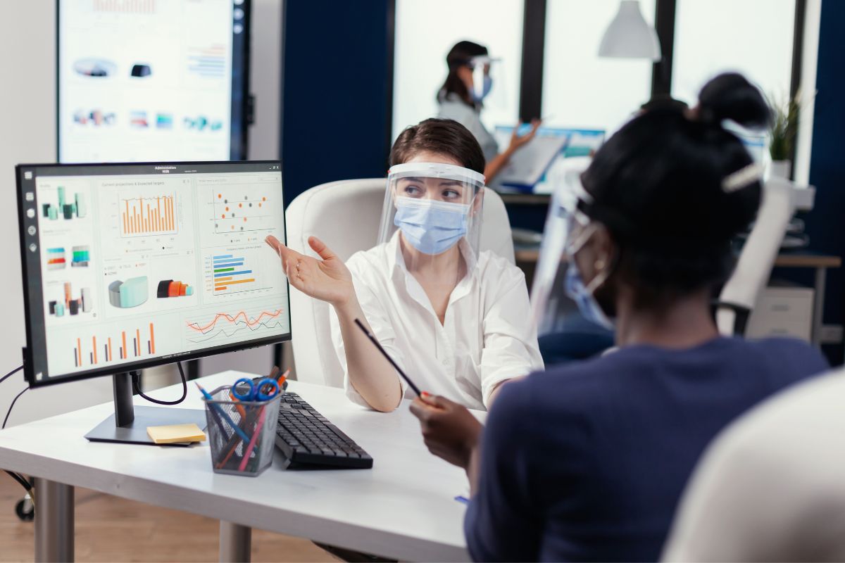
The Challenge Diabetes care involves ongoing patient monitoring, scheduling, and coordination between clinical staff — processes that can become inefficient without a system built specifically around that workflow, rather than a generic hospital administration tool. The Solution CodeRize built an advanced hospital management system on Odoo ERP, tailored specifically to streamline diabetes care operations. As […]
Technical Support That Doesn’t Sleep: Why Ongoing GIS and Software Maintenance Matters

Introduction A GIS or software system that isn’t maintained tends to degrade quietly — data drifts out of date, integrations break, and small issues compound. CodeRize provides comprehensive technical support, including maintenance, troubleshooting, and updates, to ensure geospatial and software systems run smoothly and efficiently. What Ongoing Technical Support Covers Routine maintenance to keep systems […]
Odoo ERP for Healthcare: Event Management and Hospital System Case Studies

Introduction Healthcare organizations run on process — scheduling, patient records, resource coordination — and inefficiencies there have direct consequences for patient care. CodeRize has delivered two Odoo ERP case studies in the healthcare space: an event management system for process optimization, and a hospital management system supporting diabetes care. Case Study 1: Event Management System […]
How Waste Management Companies Use GIS: The GeoScanner Case Study

The Challenge Waste management companies coordinate large field staff across constantly changing routes and schedules, making it difficult to track collection efficiency, staff activity, and service quality without a centralized, location-aware system. The Solution CodeRize’s GeoScanner product has been applied to streamline waste collection and management operations, combining centralized task allocation, GPS-based field staff monitoring, […]
WMS for Forest Encroachment Detection: How Web Map Services Support Monitoring
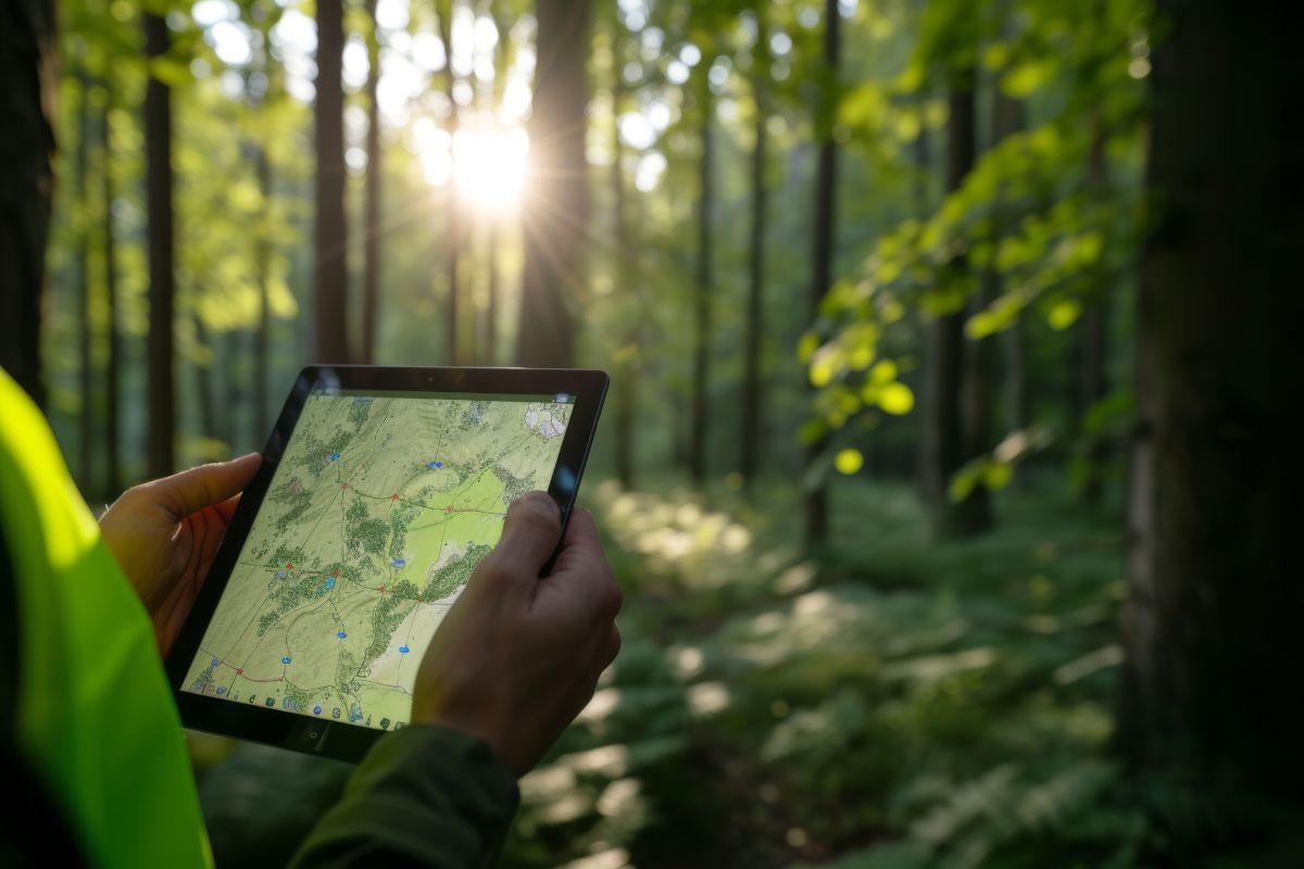
The Challenge Detecting encroachment on forest land is difficult at scale — manual site visits can’t cover large areas frequently enough, and without a shared, up-to-date map layer, different stakeholders may be working from inconsistent information. The Solution CodeRize developed a WMS (Web Map Service) for forest encroachment detection and monitoring — a system that […]
GIS for Forestry and Environment: Monitoring, Digitization, and Encroachment Detection
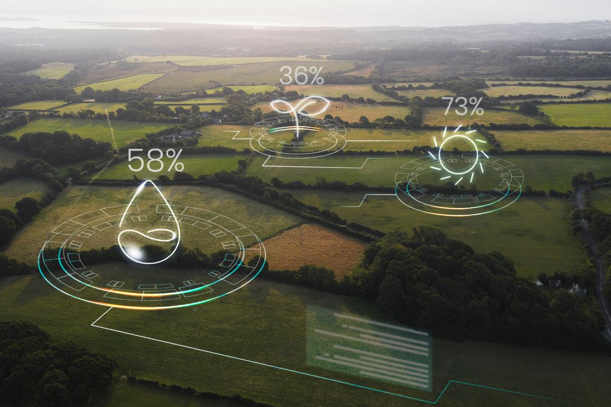
Introduction Forestry departments face a unique geospatial challenge: managing enormous, often remote areas with historically limited digital infrastructure. CodeRize has delivered two related projects in this space — digitizing forest stock from handwritten maps, and developing a Web Map Service (WMS) for forest encroachment detection and monitoring. From Paper Records to Monitoring Systems These two […]
GeoSphere Explained: CodeRize’s New Platform for Unified Geospatial Intelligence

Introduction Field data is only useful if it reaches the right people quickly and in a usable format. GeoSet, one of CodeRize’s core products, is built to solve exactly this problem — combining a mobile data collection app with a geo-enabled web dashboard. What GeoSet Does Mobile app: makes it easy to capture accurate spatial […]
Water Resource Management Reimagined: The Ministry of Jalshakti Geoportal Case Study
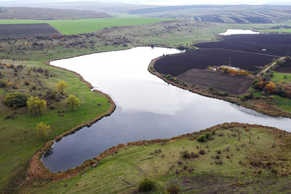
The Challenge The Soil and Water Conservation Department of Maharashtra needed better visibility into its conservation assets to optimize allocation and reduce costs — a challenge common to agencies managing large numbers of physical assets across wide geographic areas without a consolidated spatial view. The Solution CodeRize built a GIS-driven dashboard that consolidated asset data […]
Application Development Services: Building Scalable Web & Mobile Apps That Grow With You

Introduction Not every project starts as a GIS initiative — many of CodeRize’s clients need general-purpose web and mobile applications, built to the same standard of technical rigor as the company’s geospatial work. CodeRize’s agile, cross-functional teams create scalable web and mobile applications that deliver rapid feature updates and exceptional user experiences. What CodeRize’s Application […]
Azure Consulting for GIS Workloads: Building Scalable Cloud-Native Geospatial Systems

Introduction GIS systems tend to grow quickly — more field data, more users, more layers of analysis — and infrastructure that worked for a pilot project often struggles at scale. CodeRize provides expert Azure consulting and re-engineering to drive scalable, innovative cloud solutions, ensuring effective digital transformation with tailored, industry-standard approaches. Why Geospatial Systems Need […]