If you’ve ever used a delivery app to track your order in real time, checked a weather radar, or seen a city planner’s map of proposed new roads, you’ve already interacted with GIS – Geographic Information Systems. What used to be a niche tool for cartographers and government agencies has quietly become one of the most powerful decision-making tools available to modern businesses.
At Coderize Technologies, we build custom GIS applications for companies that want to turn location data into a competitive advantage. Here’s what that actually means, and why it matters more than ever in 2026.
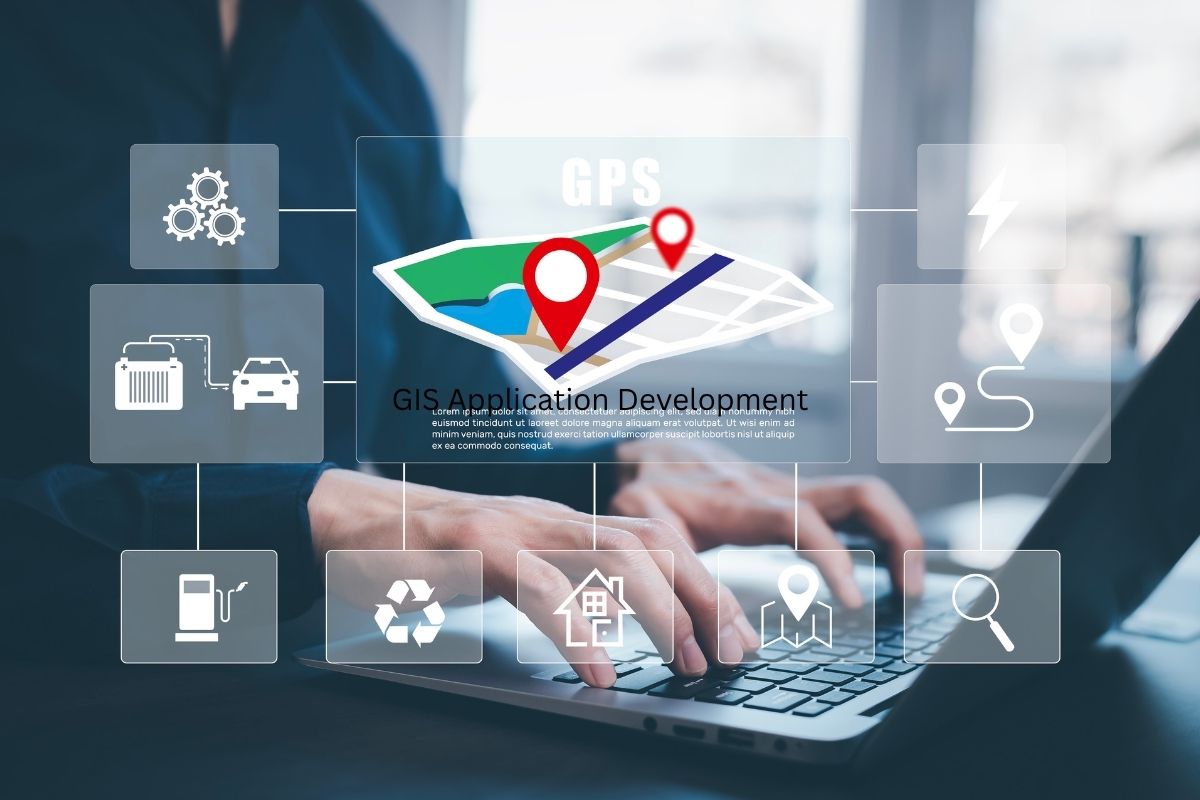
GIS application development is the process of building software that captures, stores, analyzes, and visualizes spatial (location-based) data. Instead of looking at a spreadsheet full of addresses and coordinates, a GIS application turns that data into interactive maps, layered visualizations, and actionable insights.
A GIS application can answer questions like:
These aren’t questions a standard database or dashboard can answer well. They require spatial logic – the ability to understand proximity, overlap, boundaries, and geography. That’s exactly what GIS is built for.
Many business leaders still think of GIS as “fancy mapping software.” In reality, it’s a data analysis engine that happens to use location as its organizing principle. A few areas where this plays out:
For years, businesses relied on generic mapping tools or expensive enterprise GIS platforms that weren’t built for their specific workflows. That’s changing. As cloud infrastructure, mapping APIs, and open-source geospatial libraries have matured, it’s now realistic – and often more cost-effective – to build a custom GIS application tailored to a specific industry or operational need.
Custom development means:
At Coderize, we specialize in building GIS applications from the ground up – web-based, mobile, or both – using modern geospatial frameworks and cloud-native architecture. Our process typically includes:
Whether you’re a logistics company trying to optimize routes, a utility provider managing thousands of assets, or a retailer planning your next expansion, a custom GIS application can give your team a clearer, faster, and more accurate way to make location-based decisions.
GIS is no longer a specialized tool reserved for cartographers and city planners. It’s a practical, business-critical technology that helps organizations of all sizes understand the “where” behind their data – and make better decisions because of it.
If your business handles any kind of location data and you’re still working with spreadsheets or static maps, it might be time to explore what a custom GIS application could do for you.
Want to talk through what a GIS solution could look like for your business? Coderize Technologies builds custom GIS applications tailored to your industry and workflows – reach out to start the conversation.