
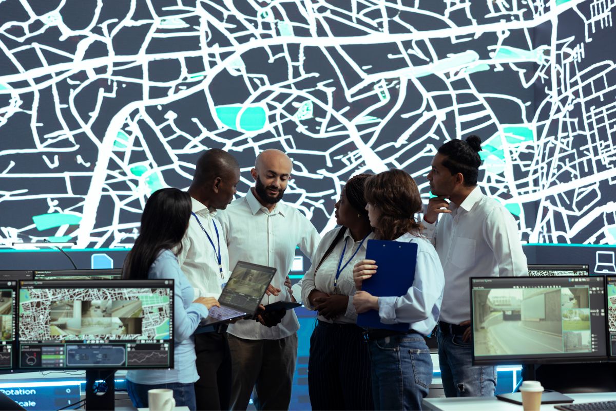
Public sector agencies manage some of the largest and most consequential spatial datasets -land records, forest boundaries, water infrastructure, agricultural land. CodeRize has delivered multiple GIS projects for government and public sector clients in Maharashtra, spanning agriculture, forestry, and water conservation.
Government agencies often operate with legacy, paper-based systems and constrained budgets, making the case for purpose-built, cost-effective GIS tools stronger than for generic off-the-shelf software. CodeRize’s public sector case studies reflect a consistent pattern: converting manual or fragmented processes into structured, geospatially-aware systems.
“CodeRize’s abilities and commitment to our project are highly commendable. The project was delivered within the stipulated time frame.”
— Dr. Pritam Wanjari, GIS Expert, Soil and Water Conservation Dept. of Maharashtra
Does working with government clients require different processes than private sector projects?
Public sector projects often involve more structured procurement and compliance requirements, but the underlying GIS development and digitization work follows the same principles.
What’s the starting point for an agency considering a GIS project?
CodeRize’s Geospatial Advisory service is designed to help agencies scope requirements and technology choices before implementation begins.
CodeRize has a track record of delivering GIS projects for government and public sector clients across agriculture, forestry, and water management. Contact us at info@coderize.in to discuss your requirements.