
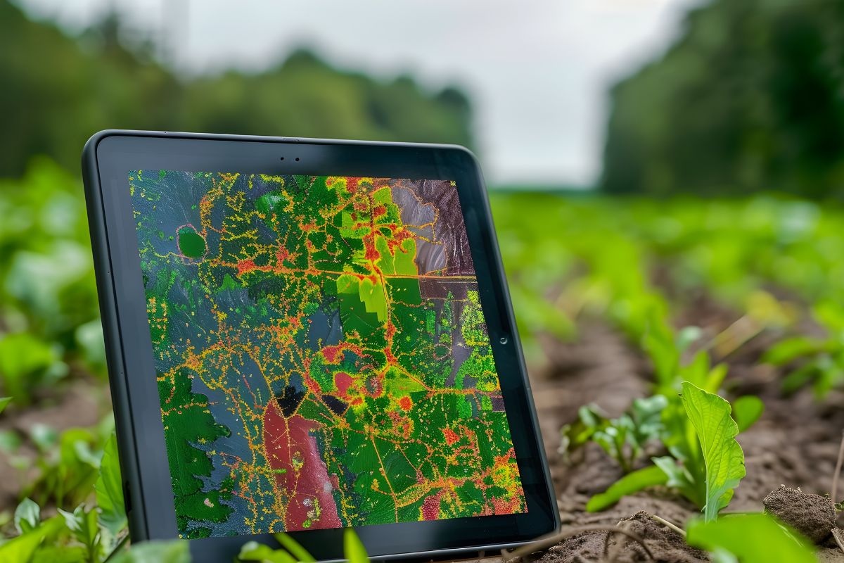
After heavy monsoon rains, agriculture departments across Maharashtra need to assess crop damage quickly and accurately so farmers can receive timely support. Manual, paper-based field surveys are slow, hard to standardize, and difficult to consolidate into a usable dataset for decision-makers.
CodeRize built GeoSets Collector, a GIS-based field data collection tool, to support post-monsoon crop damage assessment. Field officers use it to capture geo-tagged damage records directly at the site, replacing manual paperwork with structured spatial data that flows straight into a central system.
Crop damage assessment sits at the intersection of urgency and accuracy — delays or errors directly affect farmers waiting on compensation decisions. By building the tool around GIS field data capture rather than paper forms, CodeRize’s approach reduces the lag between an assessment being made in the field and it being usable by decision-makers.
This project reflects the same underlying GIS development and data digitization capability CodeRize applies across its geospatial practice — from field data capture to dashboard-level reporting.
Can a tool like GeoSets Collector work offline in low-connectivity rural areas? Field data collection tools built by CodeRize are designed with rural and field-based use cases in mind, where connectivity can be inconsistent.
Is this type of solution limited to crop damage assessment? No — the same GIS field data capture approach applies to any scenario requiring structured, geo-tagged field records, from agricultural training to asset surveys.
If your organization needs faster, more accurate field data collection for agriculture or related sectors, CodeRize’s GIS Development and Location Intelligence teams can help design a solution built around your workflow. Write to us at info@coderize.in.