
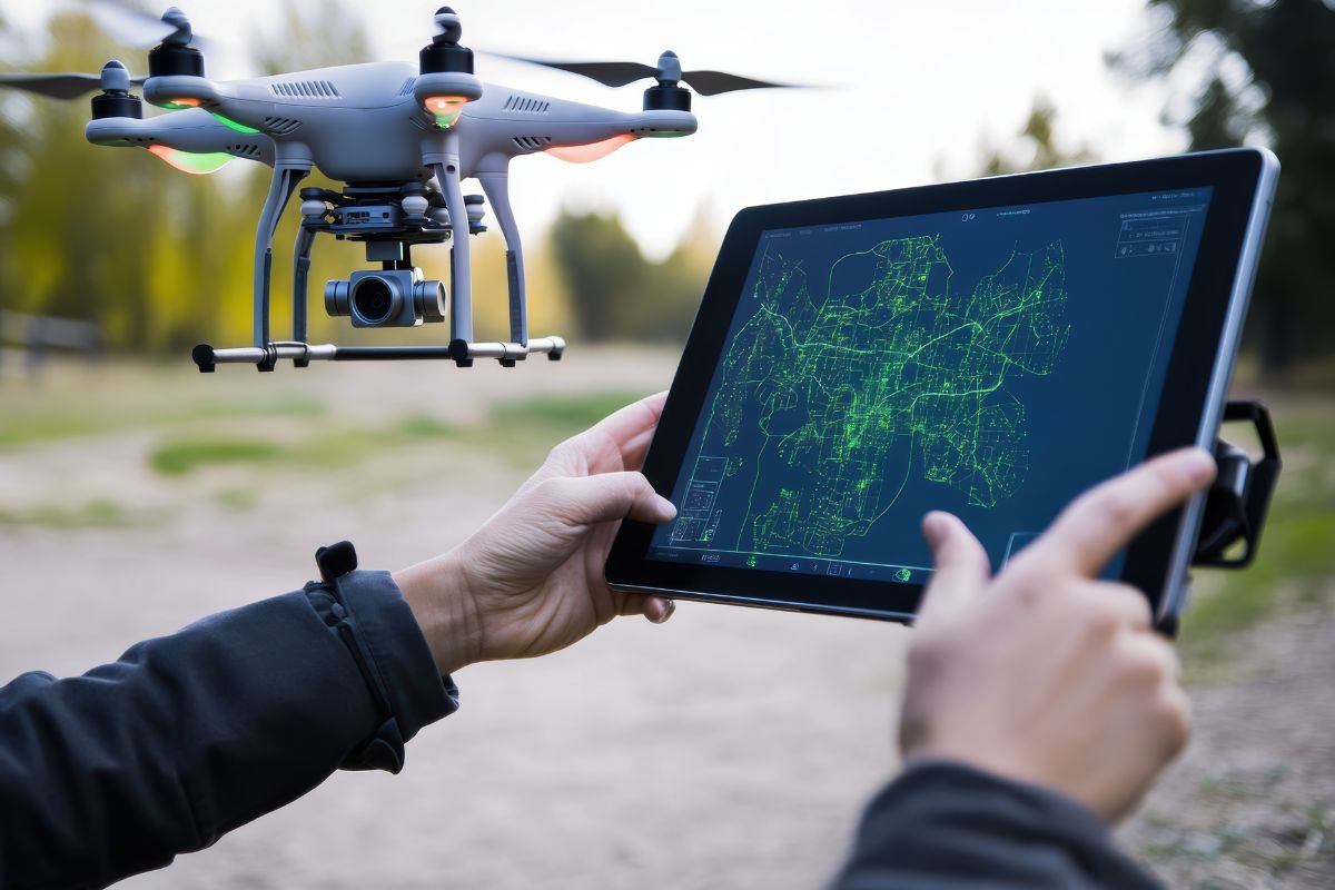
Drones have become one of the fastest ways to capture accurate, up-to-date spatial data over large or hard-to-reach areas. CodeRize offers end-to-end industrial UAV solutions globally, delivering precision and efficiency for aerial photography, surveying, and infrastructure inspection.
Aerial data is only as useful as the system that processes it. CodeRize’s drone services are backed by the same Ex-ESRI and GIS development expertise behind its broader geospatial practice, meaning captured imagery can be integrated directly into digitization, mapping, and analytics workflows — rather than sitting as standalone photo files.
This is the same approach applied in CodeRize’s work digitizing forest stock records and building field data tools like GeoSets Collector — capture, structure, and make the data usable.
What industries use drone mapping most? Infrastructure inspection, land surveying, agriculture, and forestry are common use cases where aerial data capture saves time compared to manual, ground-based methods.
Can drone data be combined with existing GIS systems? Yes — CodeRize’s drone services are designed to feed into broader GIS development and location intelligence workflows.
If your project needs precise aerial survey or infrastructure inspection data, reach out to CodeRize’s Geospatial team at info@coderize.in to discuss scope and approach.