
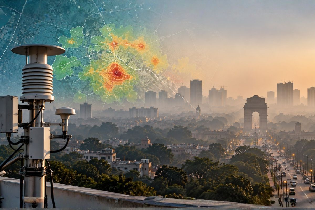
Another important part of this development is AATAL’s integration with IITM’s AIRWISE, the Air Quality Warning and Integrated Decision Support System for Emissions. AIRWISE combines air-quality forecasts, observations and pollution-source information to support pollution management. According to the Ministry of Earth Sciences, the system provides air-quality forecasts at a spatial resolution of 400 metres for the next 72 hours. This means that air-quality conditions can be assessed across different pockets of Delhi rather than treating the entire city as one uniform area. The integrated capability is also intended to provide real-time information and forecasts for the next four days, helping authorities prepare for changing pollution conditions. This is particularly important because pollution levels and their contributing sources may vary considerably between neighbourhoods.
India’s new air pollution analysis facility represents an important development in how environmental challenges can be studied and managed. By bringing together atmospheric measurements, chemical analysis, pollution-source identification and highresolution forecasting, the initiative moves towards a more detailed understanding of air quality across DelhiNCR. For the wider GIS and location-intelligence ecosystem, it also highlights an important principle: environmental data becomes more useful when its geographical context is understood. Because knowing how polluted the air is matters. But understanding where the pollution is coming from, which areas are affected and where action may be needed can make that information even more valuable.
Press Information Bureau, Ministry of Earth Sciences, Government of India. Union Minister Dr Jitendra Singh inaugurates World’s first-of-its-kind ‘Air Pollution Analysis’ facility for Delhi NCR.
Published: 24 October 2026
https://www.pib.gov.in/PressReleseDetailm.aspx?PRID=2327957&lang=1®=3