Field operations are often managed across large geographic areas. Supervisors may need to know where
teams are working, whether an assigned site has been reached, which tasks are still pending and whether
activity is taking place within the expected area. Location technology can make these questions easier to
manage. Real time tracking provides information about the current or last known location of a device or
resource, while geofencing allows an organization to define geographic boundaries and create location
based rules.
A geofence is a virtual boundary created around a geographic area. The boundary can represent a project
site, service area, work zone, restricted location or another operational region. When a location enabled
device enters, leaves or interacts with that area, the system can record the event or trigger a predefined
workflow. The value comes from connecting the geographic event to something the organization actually
needs to know or do.
Many field processes already contain geographic rules, even if they are handled manually. A technician
may be assigned to a particular area. A site inspection may need to take place at a specific location. A
vehicle may need to reach a project site before a task can be marked as started. A geofence can turn
these requirements into part of a digital workflow rather than relying entirely on manual confirmation
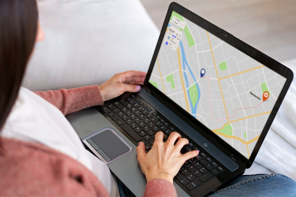
When field devices send location information to a central system, supervisors can see operational activity
on a map. This can help them understand where teams are working and coordinate assignments across a
large area. Tracking can be particularly useful when several teams are moving between sites or when work
needs to be reassigned during the day. The frequency of updates should be selected according to the
operational purpose because not every workflow requires continuous location updates.
Location becomes more useful when it is connected with work assignments. A dashboard can show tasks
alongside the teams responsible for them. Supervisors can review which assignments are pending, which
have started and where activity is taking place. A location event can also provide context for a task, such
as whether a worker has reached the assigned site. This can reduce the need for repeated manual status
calls
Organizations can define different types of geographic zones. A construction project may have a site
boundary. A utility company may define service areas. A field program may divide a large region into
operational zones. A geofence can provide a digital representation of these boundaries and allow the
system to associate activity with the appropriate area.
An alert is useful only when it leads to a meaningful action. A system might notify a supervisor when a
team reaches a site, when a device leaves a designated area or when a task remains outside an expected
location. The rules should be designed carefully because excessive notifications can create noise. The
goal is to surface events that require attention, not to generate alerts for every movement.
Real time systems depend on communication between field devices and a central platform. Connectivity
can disappear in exactly the locations where field teams operate. A practical system therefore needs to
define what happens when a device is temporarily offline. Location events may need to be stored locally
and synchronized later. The interface should also make it clear whether a location is live or simply the last
recorded position
Tracking can support more than supervision. Historical location information can help organizations
understand how field work is distributed, how teams move between assignments and where operational
activity is concentrated. When combined with work records, this information can support planning
discussions. It can show how location and operational workload relate without requiring managers to
reconstruct activity from separate records.
Location data can be sensitive, particularly when it is connected to individuals or identifiable devices.
Organizations should define who can access tracking information, why it is collected and how long it should
be retained. Role based access and clear internal policies can help ensure that location information is used
for legitimate operational purposes. Technical design should therefore be considered together with
governance
Geofencing and tracking can support field service, utility maintenance, infrastructure programs, logistics,
site operations, asset monitoring and other location dependent activities. The appropriate design varies by
use case. Some organizations may need only arrival and departure events, while others may require a
broader operational map showing active teams, assignments and assets
Geofencing and real time tracking can turn location into an active part of field operations. Instead of
treating geography as background information, organizations can use it to support task coordination, site
monitoring, alerts and operational visibility. The strongest implementations begin with a clear workflow
requirement and then use location technology where it provides useful information and practical action
If you need to connect field activity, geographic boundaries, task management and operational
alerts, Coderize can help design a GIS workflow around your requirements. Contact
info@coderize.in to discuss the use case.