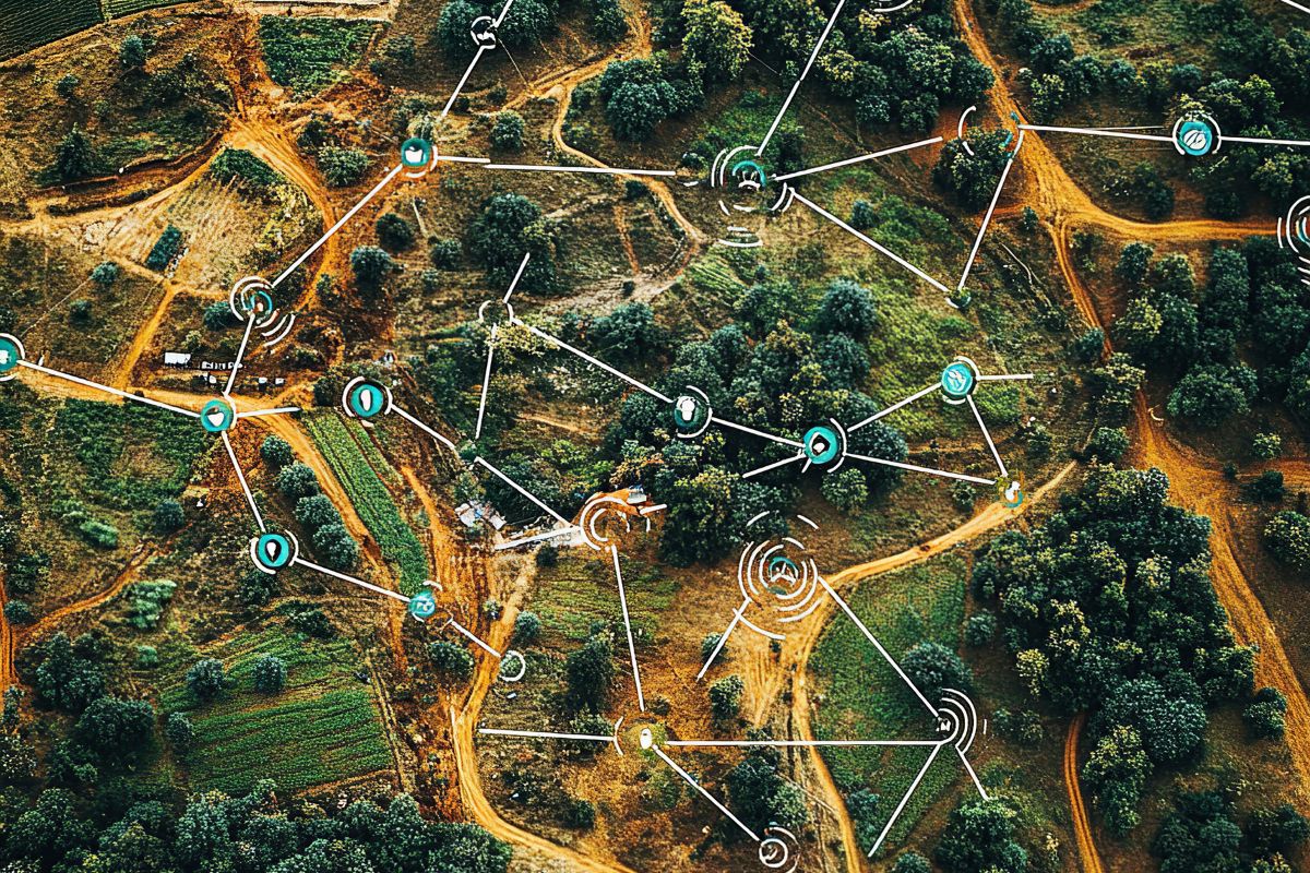
Utility networks are difficult to manage because their infrastructure is spread across large areas. Water
pipelines, electrical assets, roads, drainage systems and other networks involve thousands of individual
assets that are connected to each other and affected by their surroundings.
Managing these networks requires more than an asset list. Teams need to know where assets are located,
how they relate to one another, what condition they are in and what work has taken place.
GIS provides a way to bring these different pieces of information together through location.
A spreadsheet can record an asset number, installation date or maintenance status. It does not provide the
same understanding of how that asset fits into the surrounding network.
A GIS map can display infrastructure in relation to roads, properties, terrain, administrative boundaries and
other assets. This makes it easier to investigate problems and understand the area affected by an
operational issue.
For a utility organization, location can therefore become a common reference point for engineering,
operations, maintenance and management teams
Utility organizations need accurate information about the assets they manage. Depending on the network,
this may include pipelines, valves, tanks, treatment facilities, electrical equipment, inspection points or other
infrastructure.
Geospatial databases can store these assets together with their attributes and relationships. This provides
a foundation for keeping information organized as the network changes.
Utility management often depends on field workers. They may need to inspect an asset, investigate a
complaint, verify a location or carry out maintenance.
A GIS mobile application can give workers access to relevant maps and asset information while they are in
the field. They can update records, capture photographs and record the result of an inspection against the
correct location.
When asset information and work history are connected to location, maintenance planning becomes easier
to organize.
Managers can identify areas with repeated issues, review assets that require inspection and examine work
activity across a network. Spatial analysis can also help identify relationships that may not be obvious when
records are reviewed individually.
For example, repeated problems in a particular area may become more visible when incidents are
displayed on a map. The map does not replace technical investigation, but it can help teams see where
further investigation may be useful.
A utility organization may have engineers, field supervisors, contractors and management teams all
working with the same infrastructure. Each group needs different information, but the underlying data
should remain consistent.
A web based GIS application can provide dashboards, maps and reports that use the same source data.
This can reduce the need for separate manually maintained versions of the same information
GIS does not need to operate as an isolated system. It can be connected with other applications and data
sources used by an organization.
An organization may use ERP software, customer systems, asset management platforms, document
management tools or operational databases. Integration can allow information to move between these
systems instead of forcing users to enter the same data repeatedly.
The exact approach depends on the systems involved and the type of information that needs to be
exchanged.
A successful utility GIS project should begin with the operational problem. The organization needs to
identify which assets matter, what information is available, what field teams need and which decisions the
system should support.
Once those requirements are clear, the GIS architecture, database, applications and integrations can be
designed around them. This approach keeps the technology connected to the actual work of operating and
maintaining the network.
Coderize develops geospatial applications and location intelligence solutions for organizations managing
complex spatial information. If your organization is looking to improve utility asset visibility or field
operations, contact info@coderize.in to discuss your requirements.