GeoSet Viewer


GeoSet Viewer

A Geo-Enabled web dashboard streamlines inter and intra-department workflows, facilitating real-time monitoring of field staff and surveyors collecting spatial data with GeoSet Collector. This dashboard empowers decision-making, integrates workflow and resource management, reducing reliance on physical records and manual work management. Real-time alerts notify officials of the next work phase, allowing data access from anywhere, reducing costs, manual efforts, and enhancing work efficiency. 


Geoset viewer

Enhance your experience by downloading our informative brochure today.       

Packed with Valuable insights & Useful tips       

Product Features


 Common Gateway   

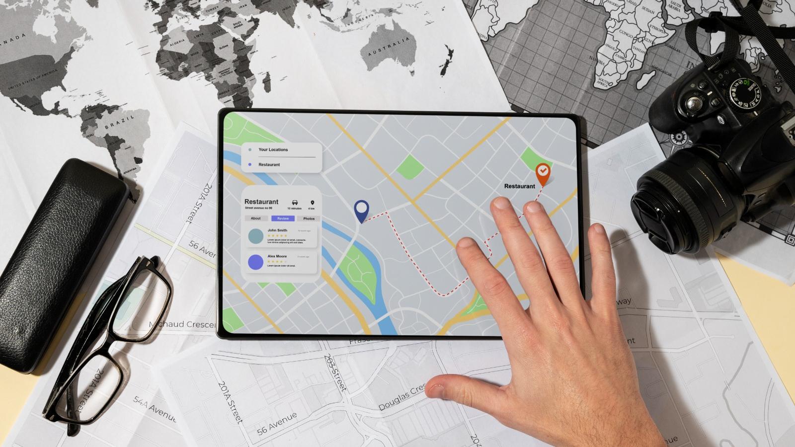
GeoSet Viewer provides a single gateway to all of your Project’s Field Staff and data Collection needs reducing manual efforts and cost. GeoSet Product Suit provides a common operating view of key performance indicators to help everyone understand what is working well and what needs attention.​​

Common gateway
Visualization & Data Monitoring

Visualization & Data Monitoring

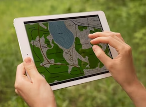
Geo enabled web dashboard makes it easy to visualize & monitor real-time operational view of field staff & assets. Data integration in real-time allows users and authorities to take immediate and actionable response. Functionality just a click away will save time and manual efforts.


Geo Analytics Reports 

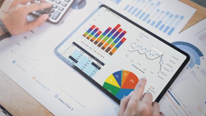
GeoSet Viewer allows to generate customized reports based on real-time data analysis, which can be used to extract useful insights & take right decision at right time. This can be implemented geographically from a very micro level e.g. wards to PAN India level.


Geo analytics reports
User management

User Management 

GeoSet Viewer implements strong user management module where in micro-geographical data can be accessed by official personnel at different hierarchy levels using role based login.

The user management module within GeoSet Viewer stands as a fortress of control, offering a robust system that ensures precise access to micro-geographical data based on the hierarchy levels of official personnel.