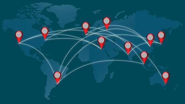
GeoFlow Creator
A GIS data creation app for Mobile, makes it easy to capture accurate spatial data and send it to the office in real time. Field staff, Surveyors use their existing mobile devices to capture and edit spatial data. GeoFlow Creator works even in Offline mode and integrates seamlessly once the device gets the internet connectivity.
Spatial data Collection Works for Anybody, Anywhere, Anytime
User can capture, edit new assets and resources spatially in any environment. Data creation is not limited to internet, in fact GeoFlow Creator works even when internet is not available, especially in remote areas. All the created data will be synced as soon as the internet connection is available.

Accurate Spatial Data
GeoFlow Creator uses your device’s location service to identify and verify your allocated area. Our unique Geo-fencing approach ensures that the user will work in his designated geographical area which helps to collect the accurate spatial information associated with the assets or resources.

Maintain Data Integrity
GeoFlow Creator has a strong user management module and the extensive support of Geo-fencing. Every user has been separated from geographical boundaries and the assets or the resource types which ensures the organization to maintain data integrity. Additionally, every Surveyor or a Field staff has a unique workflow which is connected to the back end staff which avoids the confusion of allocating the area to designated user only.

Save Papers, Save Environment
Easy, accurate creation of spatial data helps save time, cost and manual efforts. GeoFlow Creator allows to create the centralized data which can be retrieved on a click by anybody from anywhere. This app is supported on all the smart phones which reduces cost to bring the spatial data seamlessly to the office.
